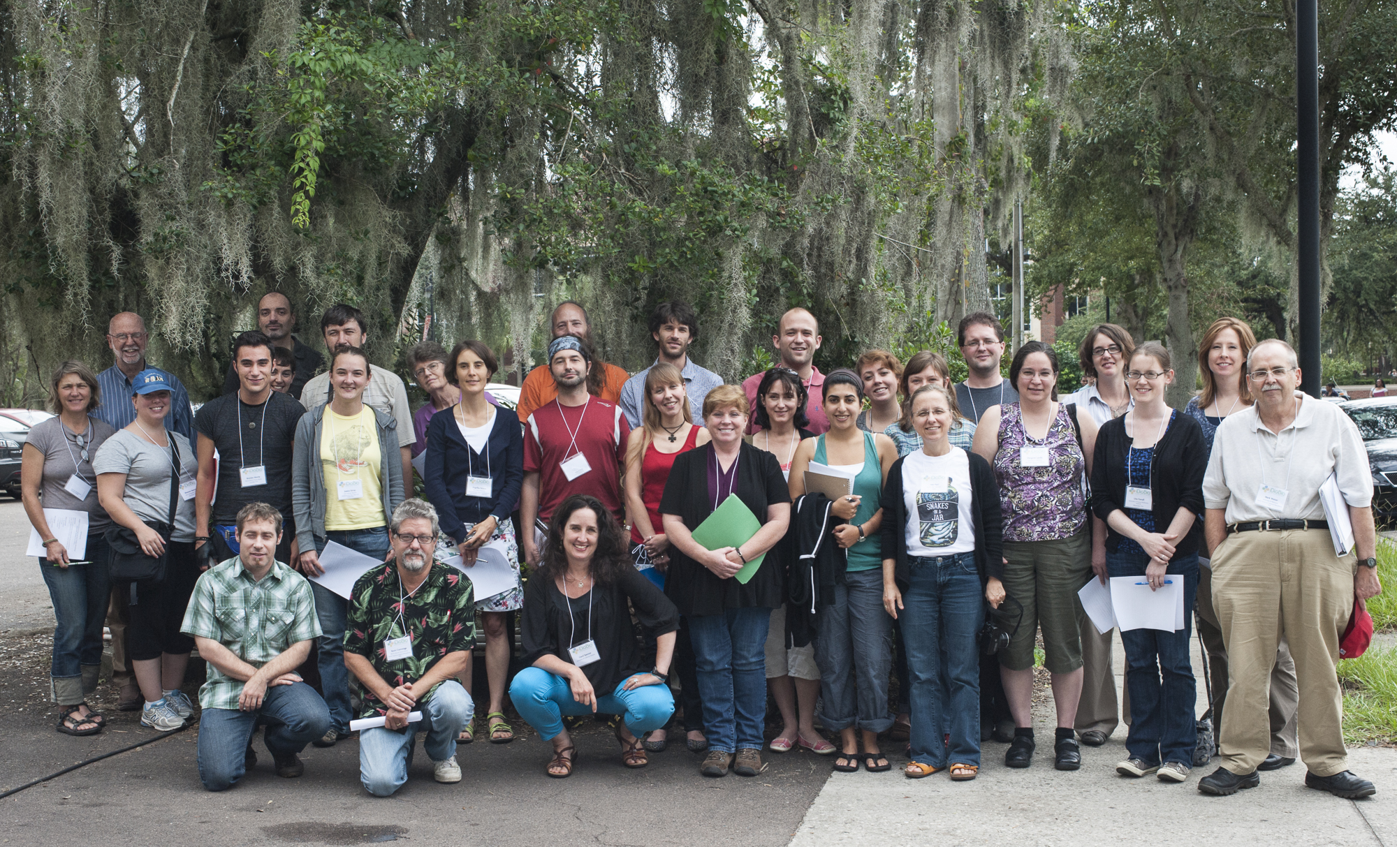
The First iDigBio Train-the-Trainers Georeferencing Workshop is well into Day 4 now! Day one, participants and instructors met iDigBio PI Pam Soltis, Project Manager David Jennings, Biodiversity Informatics Manager Joanna McCaffrey, Cathy Bester, iDigBio Program Assistant and Kevin Love, the iDigBio IT magician who keeps us all in touch with one another and connected to the internet. Shari Ellis, iDigBio Project Evaluator, shared results of the iDigBio Pre-Workshop Survey for this workshop with all the participants. Following this, each participant and/or representative from each TCN shared the overall objectives and scope of their georeferencing projects.
Our first day began with presentations that included the following:
Introduction to Georeferencing
Thinking like a Trainer
Point-Radius Method and Best Practices
Georeferencing Quick Reference Guide
Georeferencing Calculator Example and Exercises
and MaNIS/HerpNET/ORNIS Georeferencing Guidelines
We are keeping notes together as a collective mind at: http://tinyurl.com/geotrainNote if you'd like to see our thoughts on paper as we go. Day two, we met iDigBio Lead PI, Larry Page, to learn more about iDigBio and discuss the overall digitization efforts of the natural history collections community in general. After Larry's introduction, we delved into Internet Resources for georeferencing and then practiced by searching for different localities using these resources. After lunch we headed out to learn the nuances of using GPS units.
At the end of the day we were introduced to Georeferencing Using Paper Maps and got to use these skills on Wednesday to try find some tricky places in Costa Rica and South America.
https://www.idigbio.org/wiki/index.php/GWG_Train_the_Trainers_Workshop


